
Crete travel planning
Crete map guide: towns, beaches, airports and routes.
Editorial review:
Use a map of Crete to plan journeys between your arrival point, accommodation and the places you want to visit. The useful distance is the actual route, including the final approach to a beach, village or harbour. A pin that looks close across a mountain is not a promise of a short drive.
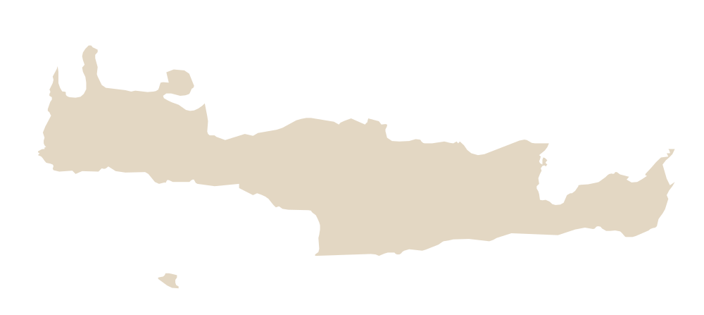
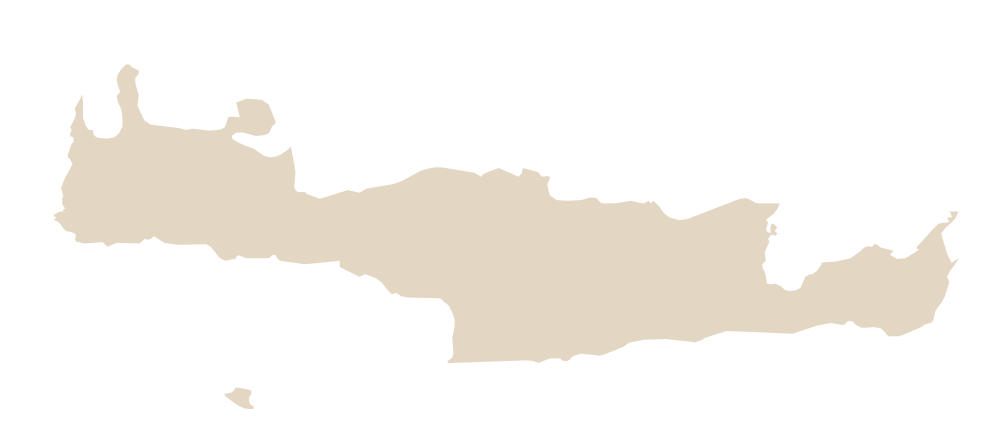
Open the interactive Crete map to explore destinations and build a set of stops. This outline is a geographic reference; the interactive map and the destination guides provide the place names.
Read the island from west to east
| Regional unit | Main planning anchors | Start with |
|---|---|---|
| Chania | Chania city, the western beaches and the southwest | Chania guide |
| Rethymno | Rethymno city, the north-coast bases and the central hinterland | Rethymno guide |
| Heraklion | Heraklion city, Knossos and the central north-coast resorts | Heraklion guide |
| Lasithi | Agios Nikolaos, Elounda, Ierapetra, Sitia and the far east | Lasithi guide |
The Greek National Tourism Organisation’s Crete overview introduces these different parts of the island. Use them as planning areas, then check the particular town or property. A broad region name is not an accommodation address.
Put the airport or port on the map first
Heraklion Airport (HER) and Chania Airport (CHQ) are different arrival gateways. For a ferry, use the port written on the ticket. Souda ferry port is distinct from the Venetian harbour in Chania; a boat excursion from Kissamos has another departure point again.
Save the exact property entrance and the final pickup point before choosing a transfer. The Heraklion arrival guide and Chania arrival guide explain the details to confirm. For Rethymno, compare the complete journey from both main airports rather than the flight price alone.
A beach pin is only the beginning
For each beach, check the access route, parking or boat arrival, any walk and the return plan. Balos, Elafonisi, Preveli and a town beach are different outings. Read the Crete beach guide before grouping them into a day. Do not treat the straight line between map pins as a road, footpath or ferry route.
If a road or track is involved, check the rental agreement and current access conditions. If a boat is involved, confirm the sailing date and the correct harbour. For a gorge, confirm both ends of the journey and the return transport.
Choose a base around your own days
Write down the two or three outings you care about most, then compare accommodation areas against them. One base can be practical for a short stay; moving between western and eastern bases may suit a longer itinerary. Compare the three-day, seven-day and ten-day plans without assuming you must visit every region.
What is the prettiest town in Crete?
That depends on what you want from the stay. Compare Chania’s harbour setting, Rethymno’s old town and Agios Nikolaos’s waterfront alongside the journeys you intend to make. Appearance alone does not decide which base works for a specific trip.
Which side of Crete is warmer?
Use the weather guide and a forecast for the actual destination. Coast, altitude, wind and the travel date matter. A map showing a southern coastline does not guarantee swimming conditions on a particular day.
Where should I avoid staying?
Avoid a base that makes your essential journeys impractical. Check the last leg to the property, parking or bus access, and the return from your planned tours. Choose from the where-to-stay guide using those needs rather than a universal list of places to avoid.